


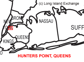
 Hunters Point is a neighborhood located on the south side of of Queens, part of the Metropolitan area of New York City. It belongs to Queens Community Board 2. It was bounded by the commercial waterways of Newton Creek and the East River and became a highly industrialized area in the 19th century.
As of the 2010 census, there were 5,866 people residing in the area. The median income for a household in the village is $76,164.
To the west is Manhattan with the UN and Chrysler Building at spitting distance. South is Newtown Creek and Greenpoint, Brooklyn. To the east are the rail yards and Sunnyside, and north is Queens Plaza and Dutch Kills. The neighborhood peers into the mouth of the Midtown Tunnel, which brings the LIE to Manhattan. Hunters Point is known a safe neighborhood, though the more desolate areas, especially toward Queens Plaza are best avoided at night.
 Hunter’s Point South Park, a waterfront park with spectacular views of New York City.
 Gantry Plaza State Park, a 12-acre riverside oasis offering spectacular views of the Manhattan skyline, including the Empire State Building and the United Nations.
 The Hunters Point Avenue station on the Flushing Line of the New York City Subway, Hunters Point Avenue and 21st Street.
The neighborhood has a Long Island Rail Road station at the intersection of Hunters Point Avenue and Skillman Avenue. Hunters Point has been about transportation since 1861, when the LIRR moved its main terminus here from Brooklyn. Train travelers disembarked and boarded ferries to Manhattan and a community developed serving this trade. In the summer months, the New York Water Taxi Company operates Water Taxi Beach, a public beach artificially created on a wharf along the East River, accessible at the corner of Second Street and Borden Avenue. From nearby Queens Plaza, the Queensboro (59th Street) Bridge is a toll-free way to Manhattan that opened in 1909.
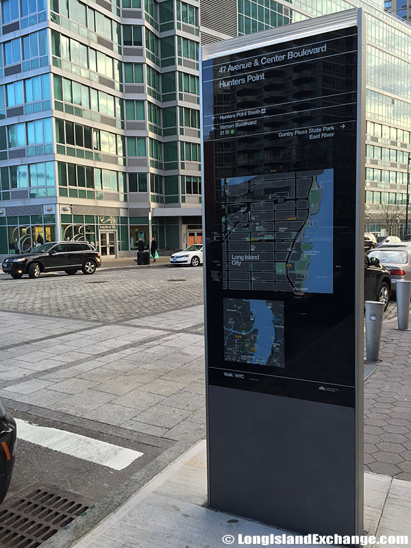 The intersection of 47 Avenue and Center Boulevard in Hunters Point.
 A skyline view from Gantry Plaza State Park.
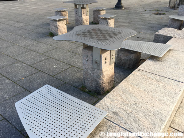 A table at Gantry Plaza State Park where people can sit and have lunch or play chess or checkers.
Hunters Point is defined by the East River waterfront through its many factories with brilliant views of the Manhattan skyline and now ads for future condos. The Brownstones in Hunters Point in 45th Avenue between 21st and 23rd Streets are one of the best attractions and now a historic district that appear to be the only brownstones in Long Island City. There are also new schools, businesses, playgrounds and high rise apartments in the area. The main drag is Vernon Boulevard which is all restaurants, bars, and shops until about 47th Ave, where warehouses take over.
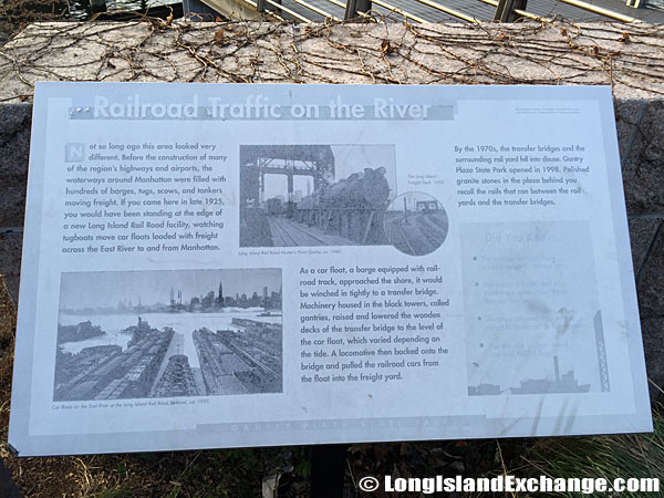 A weathered plaque details the history of the Long Island Rail Road.
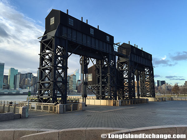 Transfer bridges and support gantries at the Gantry Plaza State Park.
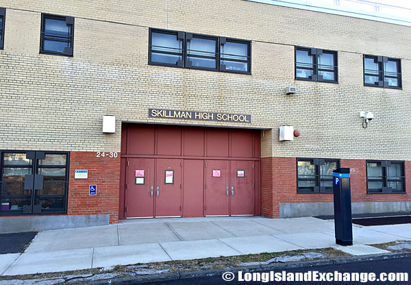 Skillman High School in the West Hunters Point area of Long Island City.
Wide Jackson Avenue is a major thoroughfare with a more industrial-commercial mix, leading to Court Square. Houses in Hunters Point are expensive and usually range from $500k+. Some local spokesmen claim the presence of high-rent apartments at Hunters Point will enhance demand for homes in and near the area, encouraging owners of nearby small buildings to charge rents that their present tenants cannot afford. They insist that 20 percent of the new apartments be available to those who cannot pay market rents. The Queens West’s Citylights (condos) and Avalon Riverside (apartments) are Hunters Point’s premier housing developments.
 The New York Water Taxi Company.
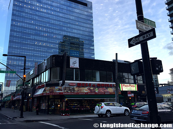 The 27 Street corner Deli and Grill.
 Old Hickory Park, wish was named after Andrew Jackson, (1767-1845). He earned the nickname, Old Hickory, which refers to his strength and stubbornness during the War of 1812. Old Hickory Park, is bounded by Jackson Avenue (also named after Jackson), 51st Avenue, and the Queens-Midtown Tunnel Toll Plaza.

