


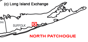
 North Patchogue is a hamlet and census-designated place located in Suffolk County, Long Island, New York. It is within the Town of Brookhaven on the Great South Bay. The neighborhood has a total area of 2.2 square miles of which, 2.1 square miles of it is land and 0.1 square miles of it is water. It is near the intersection of Sunrise Highway, and Medford Avenue. North Patchogue neighboring cities include Patchogue, Blue Point, Holtsville, East Patchogue, Bayport, Medford, Holbrook, and Farmingville.
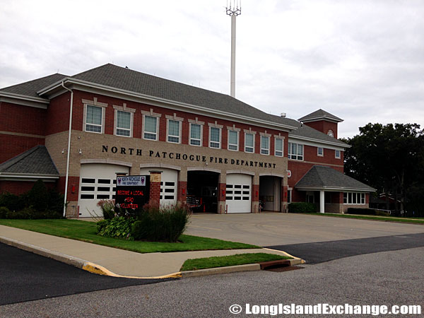 North Patchogue Fire Department.
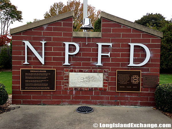 North Patchogue Fire Department Memorial.
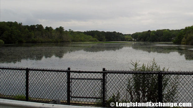 Canaan Lake, a small shallow man-made lake located in North Patchogue.
As of the 2010 census, there were 7,246 people, 2,282 households and 1,842 families residing in the CDP. The median income for a household in the CDP was $78,732 and the median income for a family was $84,328. Males had a median income of $44,302 and only $31,724 for females. North Patchogue ZIP Code is 11772. Area Code is 631. The latitude of North Patchogue is 40.787N. The longitude is -73.009W. It is in the Eastern Standard time zone. Elevation is 49 feet.
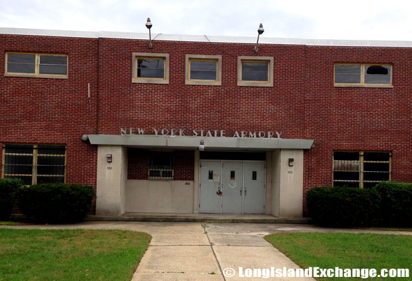 The Patchogue Armory sits empty and abandoned after local National Guard units were transferred to a new facility in Farmingdale beginning in 2011.
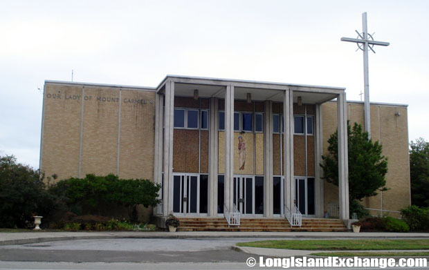 Our Lady of Mt Carmel Church.
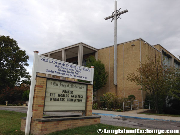 Our Lady of Mt Carmel Church.
The neighborhood is named after the Patchogue Indians, who once inhabited the area. Compared to the rest of the country, North Patchogue’s cost of living is 21.84% higher than the United States average. There public schools spend a total of $11,413 per student. The average school expenditure in the United States is $6,058. There are about 15 students per teacher in North Patchogue. Most of the housing units here are occupied by their owners. Renters are only make-up 19% of their total population. It takes 33 minutes on the average one-way commute in North Patchogue. Most residents drive their own car alone. According to the famous researchers in New York, North Patchogue is a very safe place to live were no registered sex offenders living in this place in early 2007.
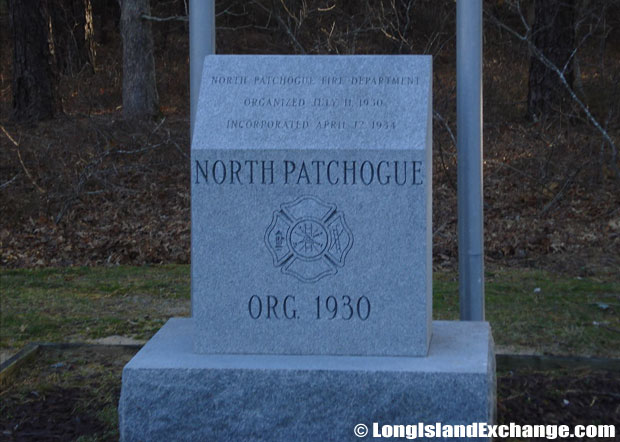 North Patchogue Fire Department Memorial Stone commemorating the North Patchogue Fire Department which was originally established in 1930.
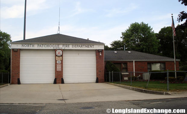 North Patchogue Fire Department Station #2.
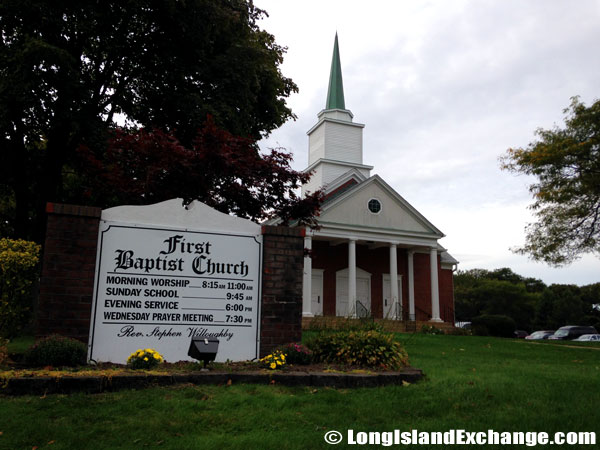 First Baptist Church of Patchogue.
The racial-makeup of North Patchogue comprises of 93.30% White, 1.44% African American, 0.09% Native American, 1.11% Asian, 0.01% Pacific Islander, 2.38% from other races, and 1.66% from two or more races. Residents in North Patchogue tend to be very religious as 67.97% of the people affiliate with a religion. The record shows about 51.73% are Catholic; 6.89% are Protestant; 0.16% is LDS; 1.27% is another Christian faith; 7.05% in North Patchogue are Jewish; 0.02% is an eastern faith; 0.86% affiliate with Islam.
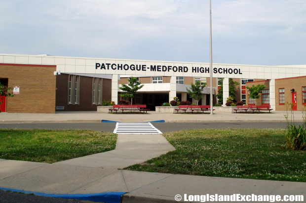 Patchogue-Medford High School, Patchogue-Medford School District.
 Canaan Elementary School.
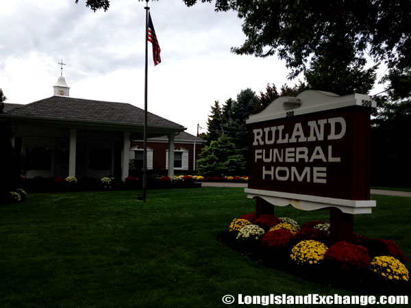 The Ruland Funeral Home.
North Patchogue has its own fire department (North Patchogue Fire Department) which is located in 33 Davidson Ave. The neighborhood is also served by the Patchogue-Medford School District generally including the incorporated villages of Patchogue and East Patchogue, and unincorporated villages of Medford, and South Medford. The district has a total of seven elementary schools, three middle schools, and one high school. It has been awarded a federal grant to develop and implement character education programs, which goal is to instill positive character traits in students, as an implicit part of the public school curriculum.

